Former church building at Mounthooly
Introduction
The photograph on this page of Former church building at Mounthooly by Stanley Howe as part of the Geograph project.
The Geograph project started in 2005 with the aim of publishing, organising and preserving representative images for every square kilometre of Great Britain, Ireland and the Isle of Man.

There are currently over 7.5m images from over 14,400 individuals and you can help contribute to the project by visiting https://www.geograph.org.uk
Former church building at Mounthooly
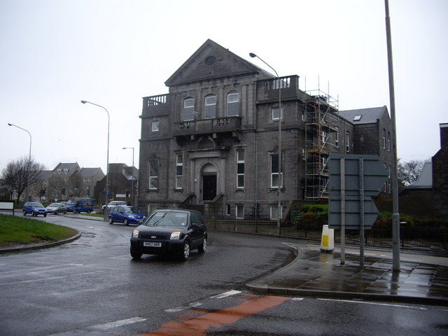
Image: © Stanley Howe Taken: 8 Apr 2009
'Laird of Creich' is engraved on the stone tablet above the door.
Images are licensed for reuse under creativecommons.org/licenses/by-sa/2.0
Image Location
Latitude
57.154104
Longitude
-2.09949