Rockfield Road
Introduction
The photograph on this page of Rockfield Road by Pauline E as part of the Geograph project.
The Geograph project started in 2005 with the aim of publishing, organising and preserving representative images for every square kilometre of Great Britain, Ireland and the Isle of Man.

There are currently over 7.5m images from over 14,400 individuals and you can help contribute to the project by visiting https://www.geograph.org.uk
Rockfield Road
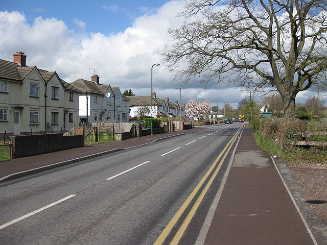
Image: © Pauline E Taken: 7 Apr 2009
The B4233 heading for Abergavenny. Housing to the left, poultry sheds and farmland to the right.
Images are licensed for reuse under creativecommons.org/licenses/by-sa/2.0
Image Location
Latitude
51.813029
Longitude
-2.725825