Gate across an abandoned bridleway
Introduction
The photograph on this page of Gate across an abandoned bridleway by Chris Reynolds as part of the Geograph project.
The Geograph project started in 2005 with the aim of publishing, organising and preserving representative images for every square kilometre of Great Britain, Ireland and the Isle of Man.

There are currently over 7.5m images from over 14,400 individuals and you can help contribute to the project by visiting https://www.geograph.org.uk
Gate across an abandoned bridleway
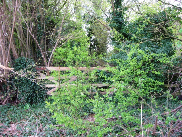
Image: © Chris Reynolds Taken: 7 Apr 2009
This gate closes the end of a disused section of the bridleway that runs along the old Hertfordshire/Buckinghamshire county boundary. The bridleway was cut by the Tring bypass and rerouted – and a stretch of the former bridleway, with an established hedge on either side is now overgrown. In addition the county boundary has been re-aligned to follow the bypass.
Images are licensed for reuse under creativecommons.org/licenses/by-sa/2.0
Image Location
Latitude
51.790355
Longitude
-0.68216