Pont Afon Gyffin
Introduction
The photograph on this page of Pont Afon Gyffin by Jonathan Wilkins as part of the Geograph project.
The Geograph project started in 2005 with the aim of publishing, organising and preserving representative images for every square kilometre of Great Britain, Ireland and the Isle of Man.

There are currently over 7.5m images from over 14,400 individuals and you can help contribute to the project by visiting https://www.geograph.org.uk
Pont Afon Gyffin
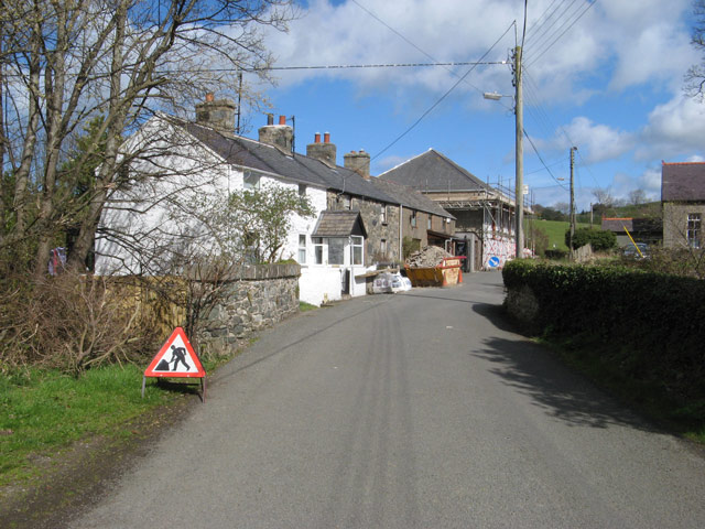
Image: © Jonathan Wilkins Taken: 5 Apr 2009
The main street of Henryd seen from the Rowen road, which crosses the Afon Gyffin just before the houses. The bridge is much disguised by ivy on one side, and appears to be a garden wall on the other. Since the name of the village translates as Old Ford, the bridge must be relatively modern!
Images are licensed for reuse under creativecommons.org/licenses/by-sa/2.0
Image Location
Latitude
53.254982
Longitude
-3.846826