Approaching Honeysuckle Lane
Introduction
The photograph on this page of Approaching Honeysuckle Lane by Jonathan Wilkins as part of the Geograph project.
The Geograph project started in 2005 with the aim of publishing, organising and preserving representative images for every square kilometre of Great Britain, Ireland and the Isle of Man.

There are currently over 7.5m images from over 14,400 individuals and you can help contribute to the project by visiting https://www.geograph.org.uk
Approaching Honeysuckle Lane
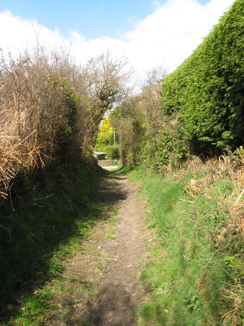
Image: © Jonathan Wilkins Taken: 2 Apr 2009
Farm hedges give way to more urban landscaping as the bridleway comes to a junction with Honeysuckle Lane. At least the Leylandii hedge is kept in bounds!
Images are licensed for reuse under creativecommons.org/licenses/by-sa/2.0
Image Location
Latitude
53.28241
Longitude
-3.738655