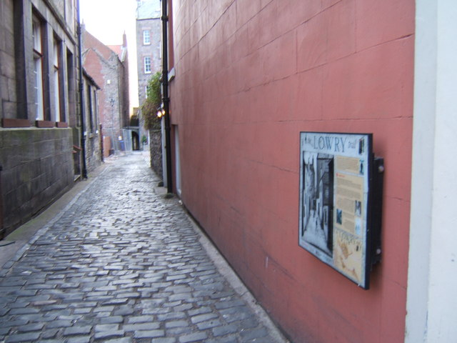
Sallyport, Berwick upon Tweed
Introduction
The photograph on this page of Sallyport, Berwick upon Tweed by Barbara Carr as part of the Geograph project.
The Geograph project started in 2005 with the aim of publishing, organising and preserving representative images for every square kilometre of Great Britain, Ireland and the Isle of Man.
There are currently over 7.5m images from over 14,400 individuals and you can help contribute to the project by visiting https://www.geograph.org.uk

Image: © Barbara Carr Taken: 7 Apr 2009
Sallyport links Bridge Street to the Quayside. The arch at the end of the lane (partly obscured by the metal fence around the building-works in progress at Dewar's Lane Granary) is the opening to a low, narrow tunnel under the Town Walls, which curves so that one cannot see from one end to the other: thus it is dark even at noon, and so provided cover for soldiers guarding the harbour from any attack from the Quayside. Steps to the left of the arch give access to the walkway around the Walls. The information board on the right is part of the Lowry trail round Berwick and Tweedmouth, showing the artist's interpretation of Sallyport.

