Throop: newish housing in Taylor Drive
Introduction
The photograph on this page of Throop: newish housing in Taylor Drive by Chris Downer as part of the Geograph project.
The Geograph project started in 2005 with the aim of publishing, organising and preserving representative images for every square kilometre of Great Britain, Ireland and the Isle of Man.

There are currently over 7.5m images from over 14,400 individuals and you can help contribute to the project by visiting https://www.geograph.org.uk
Throop: newish housing in Taylor Drive
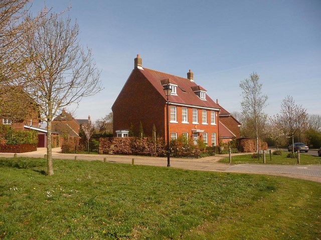
Image: © Chris Downer Taken: 5 Apr 2009
Throop is one of the very last villagey enclaves of Bournemouth. This housing development is now about 10 years old and has been fairly sympathetically done.
Images are licensed for reuse under creativecommons.org/licenses/by-sa/2.0
Image Location
Latitude
50.760973
Longitude
-1.84725