Bodinnick Ferry
Introduction
The photograph on this page of Bodinnick Ferry by Derek Harper as part of the Geograph project.
The Geograph project started in 2005 with the aim of publishing, organising and preserving representative images for every square kilometre of Great Britain, Ireland and the Isle of Man.

There are currently over 7.5m images from over 14,400 individuals and you can help contribute to the project by visiting https://www.geograph.org.uk
Bodinnick Ferry
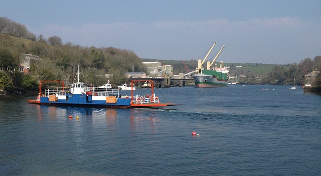
Image: © Derek Harper Taken: 2 Apr 2009
The ferry arrives at the Fowey side of the river, seen from the slipway on Passage Street.
Images are licensed for reuse under creativecommons.org/licenses/by-sa/2.0
Image Location
Latitude
50.339869
Longitude
-4.633521