Longden, The Tankerville Arms
Introduction
The photograph on this page of Longden, The Tankerville Arms by Mike Faherty as part of the Geograph project.
The Geograph project started in 2005 with the aim of publishing, organising and preserving representative images for every square kilometre of Great Britain, Ireland and the Isle of Man.

There are currently over 7.5m images from over 14,400 individuals and you can help contribute to the project by visiting https://www.geograph.org.uk
Longden, The Tankerville Arms
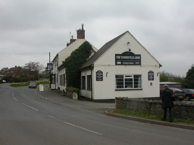
Image: © Mike Faherty Taken: 2 Apr 2009
Country pub in the middle of the village, opposite Image Internally, rectangular bar with public bar to left, lounge to right and dining room in extension. Cask ales available at my visit: Bateman's Hooker, Wood's Shropshire Lad. For a newspaper review, see http://www.shrewsburychronicle.com/2008/02/22/the-tankerville-arms-longden/
Images are licensed for reuse under creativecommons.org/licenses/by-sa/2.0
Image Location
Latitude
52.652353
Longitude
-2.826422