Level crossing near Howland Road
Introduction
The photograph on this page of Level crossing near Howland Road by David Anstiss as part of the Geograph project.
The Geograph project started in 2005 with the aim of publishing, organising and preserving representative images for every square kilometre of Great Britain, Ireland and the Isle of Man.

There are currently over 7.5m images from over 14,400 individuals and you can help contribute to the project by visiting https://www.geograph.org.uk
Level crossing near Howland Road
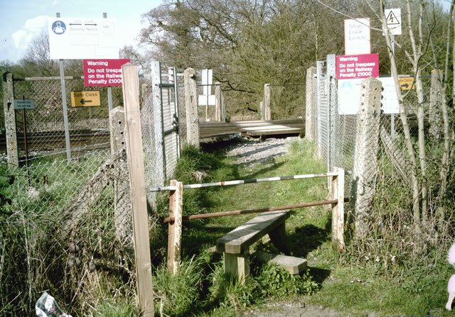
Image: © David Anstiss Taken: 5 Apr 2009
Footpath from Howland Road, leads over the railway to a reservoir/ fishing lake near Bridgehurst Wood, then leads onto Battle Lane, St Ann's Green.
Images are licensed for reuse under creativecommons.org/licenses/by-sa/2.0
Image Location
Latitude
51.173789
Longitude
0.513768