Flood alleviation channel, Par
Introduction
The photograph on this page of Flood alleviation channel, Par by Derek Harper as part of the Geograph project.
The Geograph project started in 2005 with the aim of publishing, organising and preserving representative images for every square kilometre of Great Britain, Ireland and the Isle of Man.

There are currently over 7.5m images from over 14,400 individuals and you can help contribute to the project by visiting https://www.geograph.org.uk
Flood alleviation channel, Par
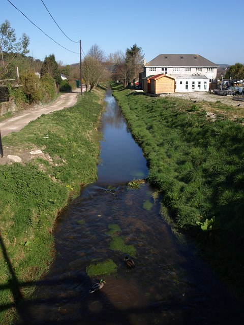
Image: © Derek Harper Taken: 2 Apr 2009
An accompanying tablet has the following: "This scheme was constructed by the South West Water Authority between 1975 and 1979 following serious flooding in 1974". Seen from the A3082.
Images are licensed for reuse under creativecommons.org/licenses/by-sa/2.0
Image Location
Latitude
50.350854
Longitude
-4.707373