Turnpike Road
Introduction
The photograph on this page of Turnpike Road by Simon Carey as part of the Geograph project.
The Geograph project started in 2005 with the aim of publishing, organising and preserving representative images for every square kilometre of Great Britain, Ireland and the Isle of Man.

There are currently over 7.5m images from over 14,400 individuals and you can help contribute to the project by visiting https://www.geograph.org.uk
Turnpike Road
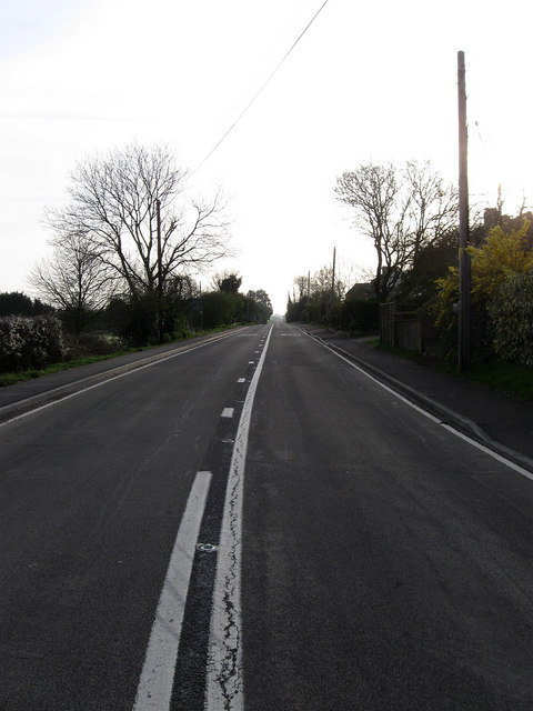
Image: © Simon Carey Taken: 5 Apr 2009
The B2139 which links Storrington to Whiteways Lodge Roundabout. The section from this point to Storrington was built around 1812 to replace the old road that ran through Parham Park then via Rackham and Cross Gates to Amberley.
Images are licensed for reuse under creativecommons.org/licenses/by-sa/2.0
Image Location
Latitude
50.90661
Longitude
-0.532181