Crossroads at Amberley
Introduction
The photograph on this page of Crossroads at Amberley by Simon Carey as part of the Geograph project.
The Geograph project started in 2005 with the aim of publishing, organising and preserving representative images for every square kilometre of Great Britain, Ireland and the Isle of Man.

There are currently over 7.5m images from over 14,400 individuals and you can help contribute to the project by visiting https://www.geograph.org.uk
Crossroads at Amberley
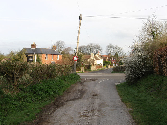
Image: © Simon Carey Taken: 5 Apr 2009
Looking down Mill Lane to the junction with the B2139, Station Road to the west, Turnpike Road to the east, and straight on for School Road to gain access to the village centre. The first building is Corner Cottage whilst beyond is Medley Cottage.
Images are licensed for reuse under creativecommons.org/licenses/by-sa/2.0
Image Location
Latitude
50.906363
Longitude
-0.534038