Marden Village Sign
Introduction
The photograph on this page of Marden Village Sign by David Anstiss as part of the Geograph project.
The Geograph project started in 2005 with the aim of publishing, organising and preserving representative images for every square kilometre of Great Britain, Ireland and the Isle of Man.

There are currently over 7.5m images from over 14,400 individuals and you can help contribute to the project by visiting https://www.geograph.org.uk
Marden Village Sign
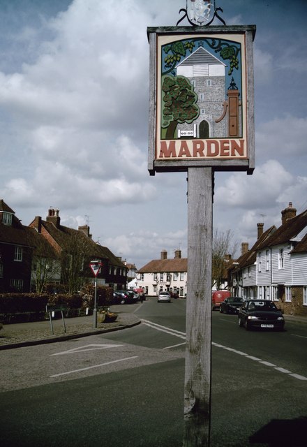
Image: © David Anstiss Taken: 5 Apr 2009
On junction of Albion Road (on left) and Howland Road (on right). It shows the village stocks outside the church, flanked by the village pump and a fruit tree, with a garland of hops on the bine across the top.
Images are licensed for reuse under creativecommons.org/licenses/by-sa/2.0
Image Location
Latitude
51.172515
Longitude
0.497675