Lane at Bonehill (2)
Introduction
The photograph on this page of Lane at Bonehill (2) by Derek Harper as part of the Geograph project.
The Geograph project started in 2005 with the aim of publishing, organising and preserving representative images for every square kilometre of Great Britain, Ireland and the Isle of Man.

There are currently over 7.5m images from over 14,400 individuals and you can help contribute to the project by visiting https://www.geograph.org.uk
Lane at Bonehill (2)
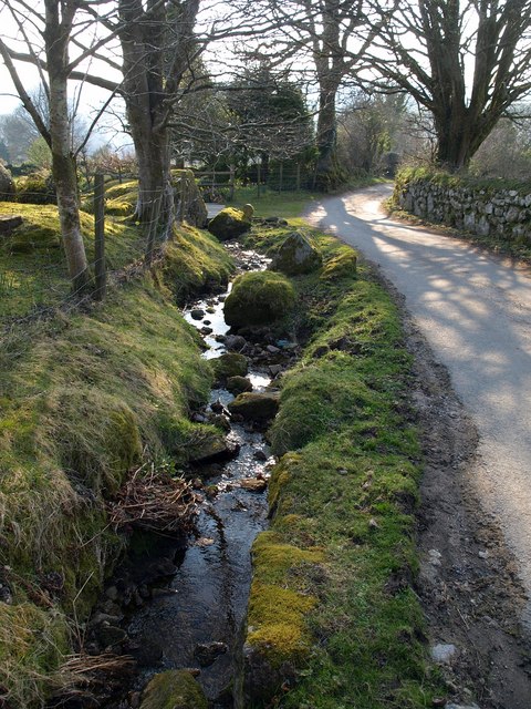
Image: © Derek Harper Taken: 1 Apr 2009
Further down Image, past most of the farms. The stream has crossed sides, but, I think, has also been distributed into fields on either side of the lane.
Images are licensed for reuse under creativecommons.org/licenses/by-sa/2.0
Image Location
Latitude
50.583002
Longitude
-3.802579