Wooded area north of the B4040
Introduction
The photograph on this page of Wooded area north of the B4040 by Brian Robert Marshall as part of the Geograph project.
The Geograph project started in 2005 with the aim of publishing, organising and preserving representative images for every square kilometre of Great Britain, Ireland and the Isle of Man.

There are currently over 7.5m images from over 14,400 individuals and you can help contribute to the project by visiting https://www.geograph.org.uk
Wooded area north of the B4040
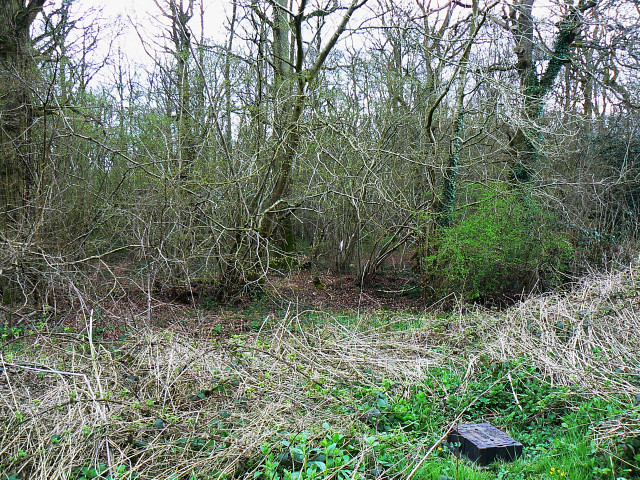
Image: © Brian Robert Marshall Taken: 5 Apr 2009
The rather nondescript patch of woodland is in the corner formed by the B4040 and the minor road to Upper Minety.
Images are licensed for reuse under creativecommons.org/licenses/by-sa/2.0
Image Location
Latitude
51.605595
Longitude
-1.978004