Moat, St Georges
Introduction
The photograph on this page of Moat, St Georges by Mike White as part of the Geograph project.
The Geograph project started in 2005 with the aim of publishing, organising and preserving representative images for every square kilometre of Great Britain, Ireland and the Isle of Man.

There are currently over 7.5m images from over 14,400 individuals and you can help contribute to the project by visiting https://www.geograph.org.uk
Moat, St Georges
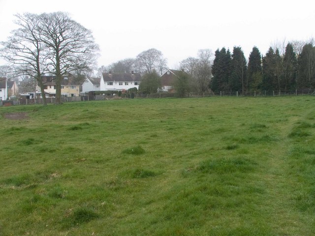
Image: © Mike White Taken: 3 Apr 2009
Marked on the map but not prominent on the ground, it runs right to left across the centre and turns at a right angle to go to the left of the two trees, where it turns another right angle to pass behind them. They sit in the south-west corner of the platform. Whatever was built on the platform can't have been very big. The raised path I'm standing on cuts through the moat.
Images are licensed for reuse under creativecommons.org/licenses/by-sa/2.0
Image Location
Latitude
52.694195
Longitude
-2.4286