Embankment near Lower Forge
Introduction
The photograph on this page of Embankment near Lower Forge by John Gibson as part of the Geograph project.
The Geograph project started in 2005 with the aim of publishing, organising and preserving representative images for every square kilometre of Great Britain, Ireland and the Isle of Man.

There are currently over 7.5m images from over 14,400 individuals and you can help contribute to the project by visiting https://www.geograph.org.uk
Embankment near Lower Forge
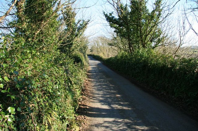
Image: © John Gibson Taken: 5 Apr 2009
Although it looks like a country lane, this is actually an embankment on the route of the Portreath Tramroad. The embankment crossed a river valley and was the one major civil engineering project undertaken during construction. The lane between the parapets now provides local access to vehicular traffic.
Images are licensed for reuse under creativecommons.org/licenses/by-sa/2.0
Image Location
Latitude
50.266222
Longitude
-5.23432