Woodland culvert near Scorrier
Introduction
The photograph on this page of Woodland culvert near Scorrier by John Gibson as part of the Geograph project.
The Geograph project started in 2005 with the aim of publishing, organising and preserving representative images for every square kilometre of Great Britain, Ireland and the Isle of Man.

There are currently over 7.5m images from over 14,400 individuals and you can help contribute to the project by visiting https://www.geograph.org.uk
Woodland culvert near Scorrier
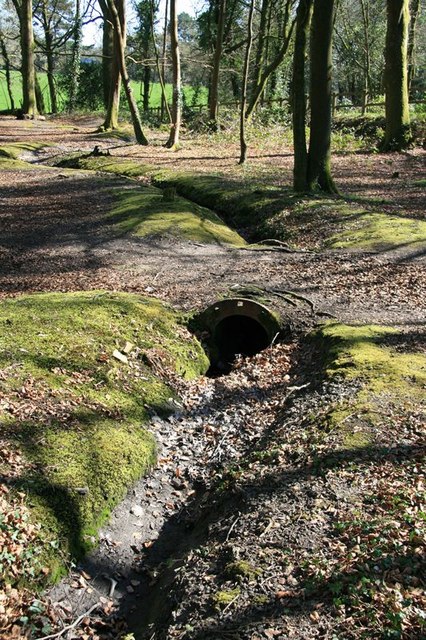
Image: © John Gibson Taken: 17 Mar 2009
This culvert under a track through the woods near Scorrier, just off the B3298, appears to have been made using a recycled section of Victorian cast-iron pipe from the pumping rising main of an old engine shaft.
Images are licensed for reuse under creativecommons.org/licenses/by-sa/2.0
Image Location
Latitude
50.252159
Longitude
-5.189872