Urban landscape in Liskeard
Introduction
The photograph on this page of Urban landscape in Liskeard by Dr Neil Clifton as part of the Geograph project.
The Geograph project started in 2005 with the aim of publishing, organising and preserving representative images for every square kilometre of Great Britain, Ireland and the Isle of Man.

There are currently over 7.5m images from over 14,400 individuals and you can help contribute to the project by visiting https://www.geograph.org.uk
Urban landscape in Liskeard
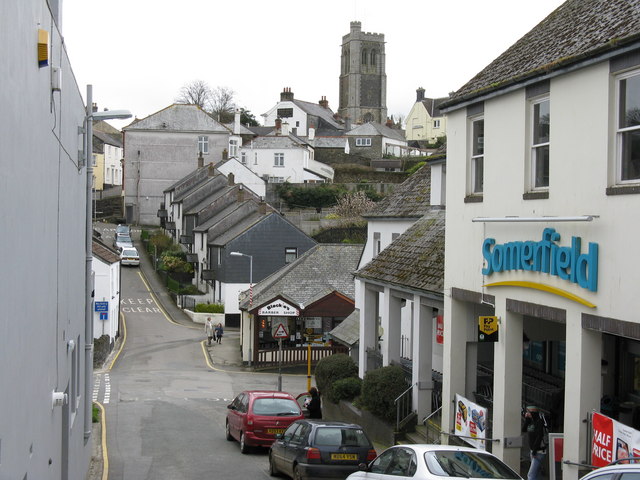
Image: © Dr Neil Clifton Taken: 30 Mar 2009
Taken from the end of Fore Street. St Martin's church in the background.
Images are licensed for reuse under creativecommons.org/licenses/by-sa/2.0
Image Location
Latitude
50.453298
Longitude
-4.460894