Approaching Wycombe station
Introduction
The photograph on this page of Approaching Wycombe station by Mr Ignavy as part of the Geograph project.
The Geograph project started in 2005 with the aim of publishing, organising and preserving representative images for every square kilometre of Great Britain, Ireland and the Isle of Man.

There are currently over 7.5m images from over 14,400 individuals and you can help contribute to the project by visiting https://www.geograph.org.uk
Approaching Wycombe station
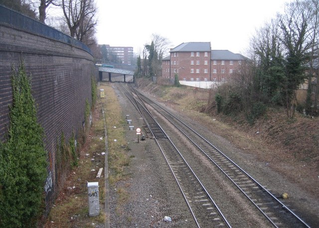
Image: © Mr Ignavy Taken: 31 Dec 2008
The bridge in the middle distance carries the road known as Amersham Hill, the station is just after this bridge. View taken from a footbridge off Priory Avenue.
Images are licensed for reuse under creativecommons.org/licenses/by-sa/2.0
Image Location
Latitude
51.630209
Longitude
-0.747488