Crossing a large meadow near Wendover
Introduction
The photograph on this page of Crossing a large meadow near Wendover by Chris Reynolds as part of the Geograph project.
The Geograph project started in 2005 with the aim of publishing, organising and preserving representative images for every square kilometre of Great Britain, Ireland and the Isle of Man.

There are currently over 7.5m images from over 14,400 individuals and you can help contribute to the project by visiting https://www.geograph.org.uk
Crossing a large meadow near Wendover
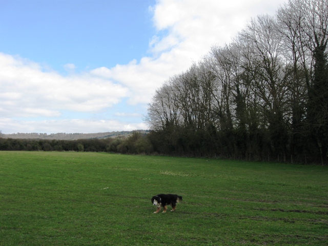
Image: © Chris Reynolds Taken: 1 Apr 2009
The tall hedge to the South marks the line of the former Halton Railway. The hedge to the East marks the Wendover Arm of the Grand Union Canal, and the hills beyond are the Chiltern Hills.
Images are licensed for reuse under creativecommons.org/licenses/by-sa/2.0
Image Location
Latitude
51.772327
Longitude
-0.743703