Looking SW along Church Street St Mary's
Introduction
The photograph on this page of Looking SW along Church Street St Mary's by Nick Smith as part of the Geograph project.
The Geograph project started in 2005 with the aim of publishing, organising and preserving representative images for every square kilometre of Great Britain, Ireland and the Isle of Man.

There are currently over 7.5m images from over 14,400 individuals and you can help contribute to the project by visiting https://www.geograph.org.uk
Looking SW along Church Street St Mary's
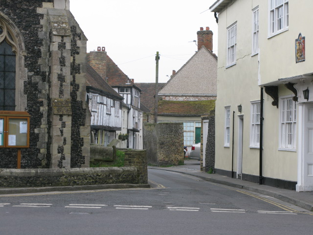
Image: © Nick Smith Taken: 4 Apr 2009
St Mary's church on the left and the Kings Arms on the right where the road joins Strand Street.
Images are licensed for reuse under creativecommons.org/licenses/by-sa/2.0
Image Location
Latitude
51.276672
Longitude
1.337639