Walls of Taunton Castle
Introduction
The photograph on this page of Walls of Taunton Castle by Ken Grainger as part of the Geograph project.
The Geograph project started in 2005 with the aim of publishing, organising and preserving representative images for every square kilometre of Great Britain, Ireland and the Isle of Man.

There are currently over 7.5m images from over 14,400 individuals and you can help contribute to the project by visiting https://www.geograph.org.uk
Walls of Taunton Castle
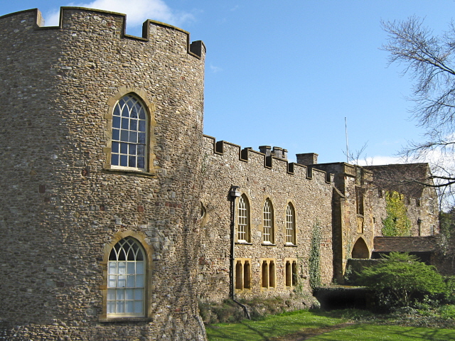
Image: © Ken Grainger Taken: 4 Apr 2009
The Castle dates back to the early 12th Century. Now used as a museum.
Images are licensed for reuse under creativecommons.org/licenses/by-sa/2.0
Image Location
Latitude
51.015455
Longitude
-3.10505