Chimney at Tolgarrick
Introduction
The photograph on this page of Chimney at Tolgarrick by Rod Allday as part of the Geograph project.
The Geograph project started in 2005 with the aim of publishing, organising and preserving representative images for every square kilometre of Great Britain, Ireland and the Isle of Man.

There are currently over 7.5m images from over 14,400 individuals and you can help contribute to the project by visiting https://www.geograph.org.uk
Chimney at Tolgarrick
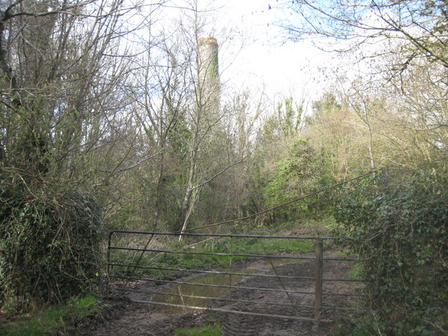
Image: © Rod Allday Taken: 4 Apr 2009
Presumably associated with Tolgarrick Uranium Mine.
Images are licensed for reuse under creativecommons.org/licenses/by-sa/2.0
Image Location
Latitude
50.335271
Longitude
-4.905633