Villiers Street
Introduction
The photograph on this page of Villiers Street by Colin Craig as part of the Geograph project.
The Geograph project started in 2005 with the aim of publishing, organising and preserving representative images for every square kilometre of Great Britain, Ireland and the Isle of Man.

There are currently over 7.5m images from over 14,400 individuals and you can help contribute to the project by visiting https://www.geograph.org.uk
Villiers Street
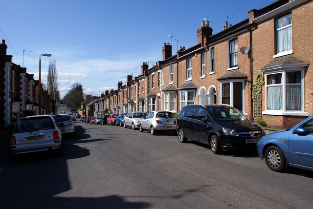
Image: © Colin Craig Taken: 4 Apr 2009
This is a typical terrace built in late Victorian times in this part of Leamington Spa. Built to a smaller scale than houses on the nearby Lillington Road, which is lined with larger, often standalone, villas and houses.
Images are licensed for reuse under creativecommons.org/licenses/by-sa/2.0
Image Location
Latitude
52.295063
Longitude
-1.529721