Above Auchensoul
Introduction
The photograph on this page of Above Auchensoul by Mary and Angus Hogg as part of the Geograph project.
The Geograph project started in 2005 with the aim of publishing, organising and preserving representative images for every square kilometre of Great Britain, Ireland and the Isle of Man.

There are currently over 7.5m images from over 14,400 individuals and you can help contribute to the project by visiting https://www.geograph.org.uk
Above Auchensoul
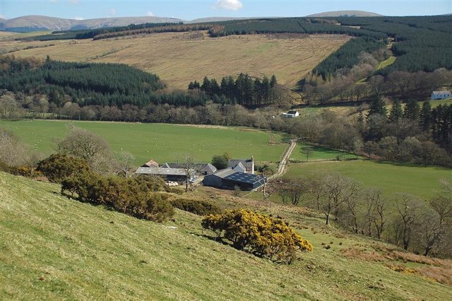
Image: © Mary and Angus Hogg Taken: 2 Apr 2009
Looking down to the farm from the lower slopes of Kirkdominae Hill. The floodplain of the River Stinchar, in the next square, is shown well in this shot.
Images are licensed for reuse under creativecommons.org/licenses/by-sa/2.0
Image Location
Latitude
55.20065
Longitude
-4.738241