Towards Auchensoul Burn
Introduction
The photograph on this page of Towards Auchensoul Burn by Mary and Angus Hogg as part of the Geograph project.
The Geograph project started in 2005 with the aim of publishing, organising and preserving representative images for every square kilometre of Great Britain, Ireland and the Isle of Man.

There are currently over 7.5m images from over 14,400 individuals and you can help contribute to the project by visiting https://www.geograph.org.uk
Towards Auchensoul Burn
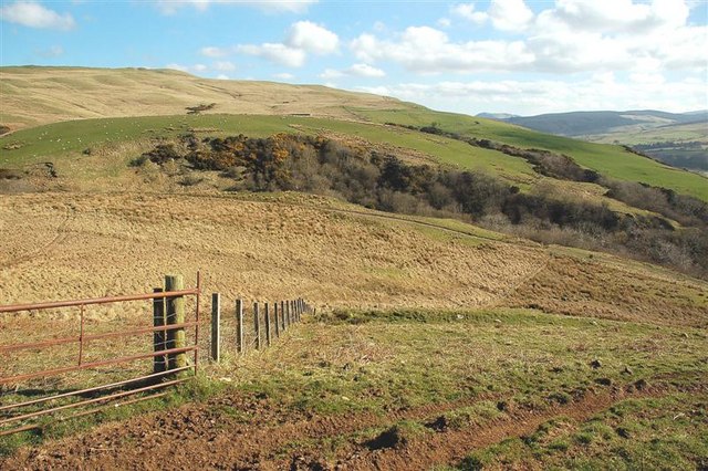
Image: © Mary and Angus Hogg Taken: 2 Apr 2009
Auchensoul Burn lies in a small valley, marked by the trees and scrub on the other side of the track. Viewed in early April, with the landscape still in winter colours.
Images are licensed for reuse under creativecommons.org/licenses/by-sa/2.0
Image Location
Latitude
55.203325
Longitude
-4.739211