Cullompton : Fulford Drive & Mead Close
Introduction
The photograph on this page of Cullompton : Fulford Drive & Mead Close by David Hunt as part of the Geograph project.
The Geograph project started in 2005 with the aim of publishing, organising and preserving representative images for every square kilometre of Great Britain, Ireland and the Isle of Man.

There are currently over 7.5m images from over 14,400 individuals and you can help contribute to the project by visiting https://www.geograph.org.uk
Cullompton : Fulford Drive & Mead Close
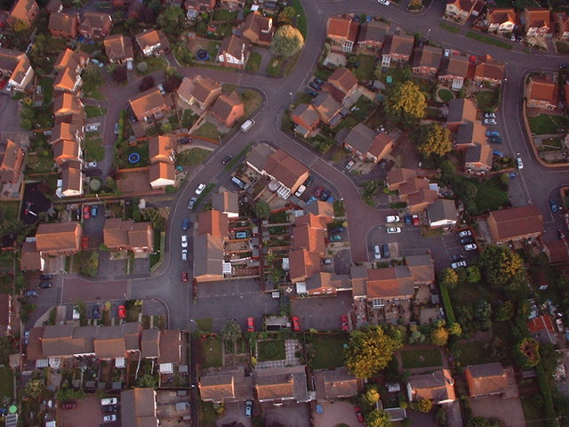
Image: © David Hunt Taken: 12 Aug 2005
Looking down upon Cullompton's residential areas from above.
Images are licensed for reuse under creativecommons.org/licenses/by-sa/2.0
Image Location
Latitude
50.850819
Longitude
-3.39678