Farmland near Lower Pavenhill, Purton
Introduction
The photograph on this page of Farmland near Lower Pavenhill, Purton by Brian Robert Marshall as part of the Geograph project.
The Geograph project started in 2005 with the aim of publishing, organising and preserving representative images for every square kilometre of Great Britain, Ireland and the Isle of Man.

There are currently over 7.5m images from over 14,400 individuals and you can help contribute to the project by visiting https://www.geograph.org.uk
Farmland near Lower Pavenhill, Purton
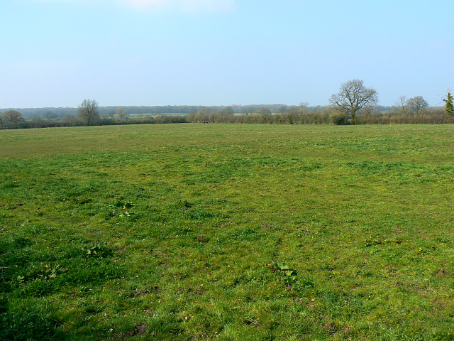
Image: © Brian Robert Marshall Taken: 2 Apr 2009
Footpaths and a bridleway cross this field. The view is towards the raging torrent that is the River Key http://www.geograph.org.uk/photo/1234107
Images are licensed for reuse under creativecommons.org/licenses/by-sa/2.0
Image Location
Latitude
51.591793
Longitude
-1.894286