Housing in Attwoods Drove
Introduction
The photograph on this page of Housing in Attwoods Drove by Peter Facey as part of the Geograph project.
The Geograph project started in 2005 with the aim of publishing, organising and preserving representative images for every square kilometre of Great Britain, Ireland and the Isle of Man.

There are currently over 7.5m images from over 14,400 individuals and you can help contribute to the project by visiting https://www.geograph.org.uk
Housing in Attwoods Drove
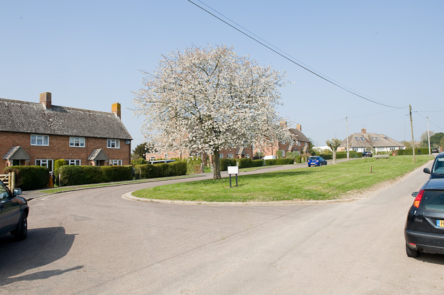
Image: © Peter Facey Taken: 3 Apr 2009
This is a little crescent off Attwoods Drove which runs along the right side of the picture. The grassy area is also a playground (according to the notice, which says don't park on it). For the view if you walk to the sign and look to your right, see Image
Images are licensed for reuse under creativecommons.org/licenses/by-sa/2.0
Image Location
Latitude
51.030951
Longitude
-1.33827