Farm Buildings
Introduction
The photograph on this page of Farm Buildings by Michael Patterson as part of the Geograph project.
The Geograph project started in 2005 with the aim of publishing, organising and preserving representative images for every square kilometre of Great Britain, Ireland and the Isle of Man.

There are currently over 7.5m images from over 14,400 individuals and you can help contribute to the project by visiting https://www.geograph.org.uk
Farm Buildings
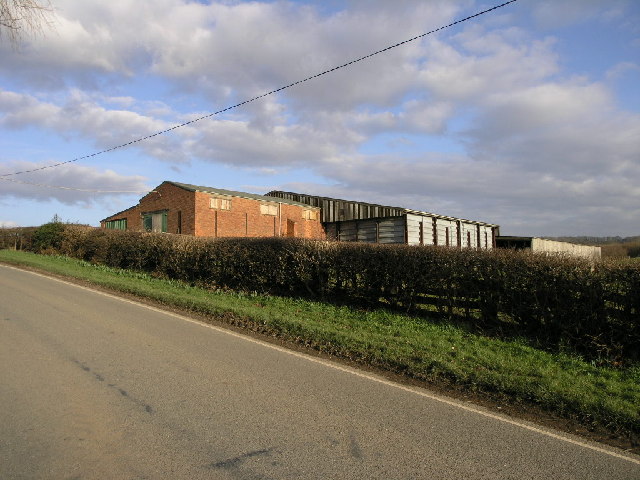
Image: © Michael Patterson Taken: 17 Feb 2006
Farm buildings sit on the top of a hill on what is almost an island formed by the River Doe Lea and one of its tributaries.
Images are licensed for reuse under creativecommons.org/licenses/by-sa/2.0
Image Location
Latitude
53.201904
Longitude
-1.310497