Waters Edge
Introduction
The photograph on this page of Waters Edge by Simon Carey as part of the Geograph project.
The Geograph project started in 2005 with the aim of publishing, organising and preserving representative images for every square kilometre of Great Britain, Ireland and the Isle of Man.

There are currently over 7.5m images from over 14,400 individuals and you can help contribute to the project by visiting https://www.geograph.org.uk
Waters Edge
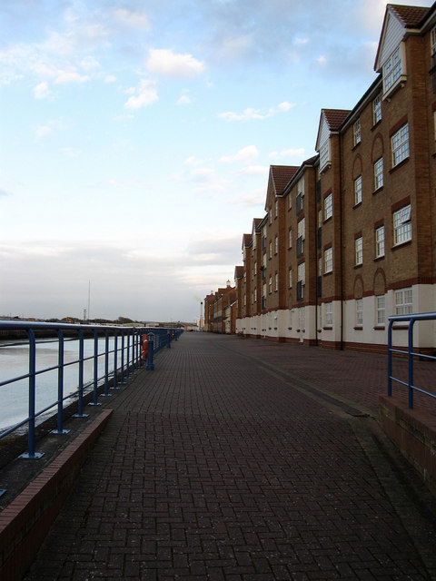
Image: © Simon Carey Taken: 29 Mar 2009
Name of the late 1990s development built on the site of the former timber yards of Shoreham Harbour. The ramp marks the point where the Emerald Quay development ends and this one begins.
Images are licensed for reuse under creativecommons.org/licenses/by-sa/2.0
Image Location
Latitude
50.830879
Longitude
-0.263047