Capel Moriah, Cerrigydrudion
Introduction
The photograph on this page of Capel Moriah, Cerrigydrudion by Eirian Evans as part of the Geograph project.
The Geograph project started in 2005 with the aim of publishing, organising and preserving representative images for every square kilometre of Great Britain, Ireland and the Isle of Man.

There are currently over 7.5m images from over 14,400 individuals and you can help contribute to the project by visiting https://www.geograph.org.uk
Capel Moriah, Cerrigydrudion
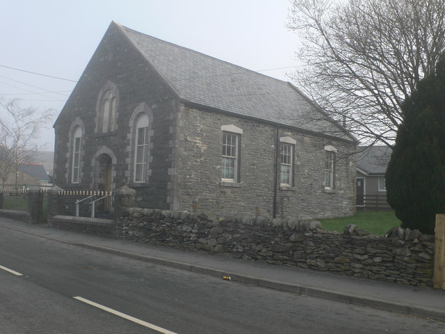
Image: © Eirian Evans Taken: 3 Apr 2009
This Congregational chapel in Cerrig was built in 1876. It stands south of the church, on King Street.
Images are licensed for reuse under creativecommons.org/licenses/by-sa/2.0
Image Location
Latitude
53.024343
Longitude
-3.560961