Entering Carlton
Introduction
The photograph on this page of Entering Carlton by SMJ as part of the Geograph project.
The Geograph project started in 2005 with the aim of publishing, organising and preserving representative images for every square kilometre of Great Britain, Ireland and the Isle of Man.

There are currently over 7.5m images from over 14,400 individuals and you can help contribute to the project by visiting https://www.geograph.org.uk
Entering Carlton
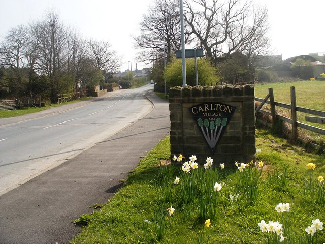
Image: © SMJ Taken: 3 Apr 2009
Entering Carlton, the sign shows it is in the "Rhubarb Triangle", an area between Leeds, Dewsbury and Wakefield, famous for growing forced rhubarb.
Images are licensed for reuse under creativecommons.org/licenses/by-sa/2.0
Image Location
Latitude
53.743147
Longitude
-1.488395