Waterlogged bridleway to ford crossing
Introduction
The photograph on this page of Waterlogged bridleway to ford crossing by R Simpson as part of the Geograph project.
The Geograph project started in 2005 with the aim of publishing, organising and preserving representative images for every square kilometre of Great Britain, Ireland and the Isle of Man.

There are currently over 7.5m images from over 14,400 individuals and you can help contribute to the project by visiting https://www.geograph.org.uk
Waterlogged bridleway to ford crossing
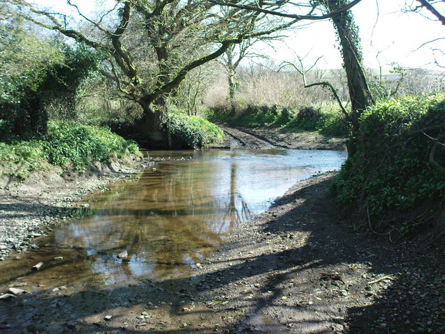
Image: © R Simpson Taken: 2 Apr 2009
The bridleway is very rocky all the way from the bridge near Holgan to the track/minor road to Abystree. It is waterlogged and eventually turns into a stream then crosses the stream from the East. The water was above my bike pedals in most places.
Images are licensed for reuse under creativecommons.org/licenses/by-sa/2.0
Image Location
Latitude
51.815012
Longitude
-4.792401