Penzance bound
Introduction
The photograph on this page of Penzance bound by Malcolm Kewn as part of the Geograph project.
The Geograph project started in 2005 with the aim of publishing, organising and preserving representative images for every square kilometre of Great Britain, Ireland and the Isle of Man.

There are currently over 7.5m images from over 14,400 individuals and you can help contribute to the project by visiting https://www.geograph.org.uk
Penzance bound
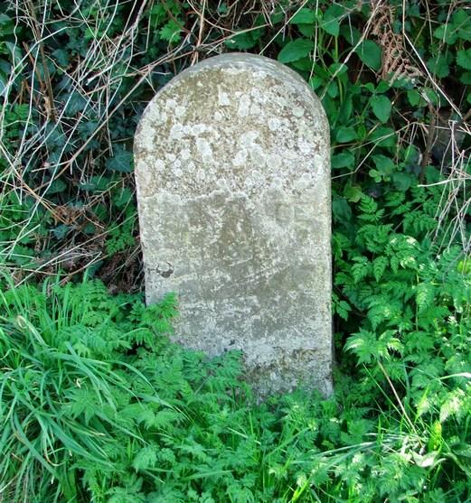
Image: © Malcolm Kewn Taken: 2 Apr 2009
Marking the boundary of the former Borough of Penzance, set in 1934.
Images are licensed for reuse under creativecommons.org/licenses/by-sa/2.0
Image Location
Latitude
50.134658
Longitude
-5.525936