Conway Road, Leamington Spa
Introduction
The photograph on this page of Conway Road, Leamington Spa by Robin Stott as part of the Geograph project.
The Geograph project started in 2005 with the aim of publishing, organising and preserving representative images for every square kilometre of Great Britain, Ireland and the Isle of Man.

There are currently over 7.5m images from over 14,400 individuals and you can help contribute to the project by visiting https://www.geograph.org.uk
Conway Road, Leamington Spa
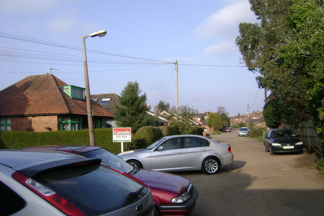
Image: © Robin Stott Taken: 2 Apr 2009
A long, pot-holed, rough-at-the-edges road that is shown on the 1886 OS map as an unnamed mews road or rear access to properties in Warwick Place (out of shot, right). Despite piecemeal residential development, telephone lines, street lighting of sorts and, presumably, other services, it remains unadopted by the highway authority: Leamington's wild west.
Images are licensed for reuse under creativecommons.org/licenses/by-sa/2.0
Image Location
Latitude
52.289488
Longitude
-1.552798