Stockport - Dodge Hill
Introduction
The photograph on this page of Stockport - Dodge Hill by Peter Whatley as part of the Geograph project.
The Geograph project started in 2005 with the aim of publishing, organising and preserving representative images for every square kilometre of Great Britain, Ireland and the Isle of Man.

There are currently over 7.5m images from over 14,400 individuals and you can help contribute to the project by visiting https://www.geograph.org.uk
Stockport - Dodge Hill
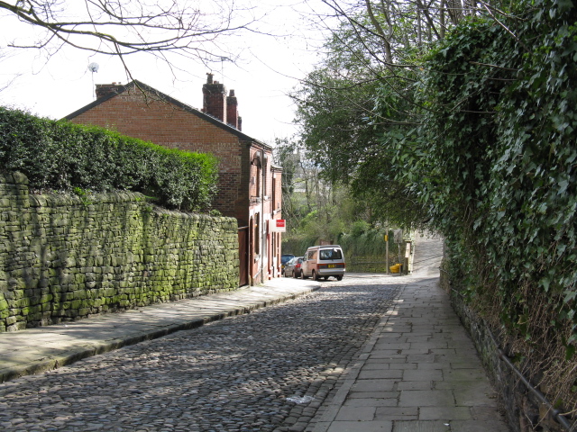
Image: © Peter Whatley Taken: 1 Apr 2009
A conservation area close to the M60, but - contrary to the OS 1:50k map - not connected to Lancashire Hill.
Images are licensed for reuse under creativecommons.org/licenses/by-sa/2.0
Image Location
Latitude
53.414259
Longitude
-2.160639