Footbridge near Long Ends Lane
Introduction
The photograph on this page of Footbridge near Long Ends Lane by David Anstiss as part of the Geograph project.
The Geograph project started in 2005 with the aim of publishing, organising and preserving representative images for every square kilometre of Great Britain, Ireland and the Isle of Man.

There are currently over 7.5m images from over 14,400 individuals and you can help contribute to the project by visiting https://www.geograph.org.uk
Footbridge near Long Ends Lane
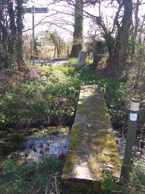
Image: © David Anstiss Taken: 1 Apr 2009
Footpath from B2162 Maidstone Road, Collier Street leads through fields to this sleeper bridge near the lane. Bridge goes over stream near woodland pond.
Images are licensed for reuse under creativecommons.org/licenses/by-sa/2.0
Image Location
Latitude
51.182627
Longitude
0.466168