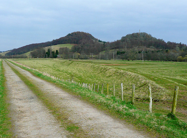
Trackbed of the old Crieff to Comrie Railway
Introduction
The photograph on this page of Trackbed of the old Crieff to Comrie Railway by Dr Richard Murray as part of the Geograph project.
The Geograph project started in 2005 with the aim of publishing, organising and preserving representative images for every square kilometre of Great Britain, Ireland and the Isle of Man.
There are currently over 7.5m images from over 14,400 individuals and you can help contribute to the project by visiting https://www.geograph.org.uk

Image: © Dr Richard Murray Taken: 1 Apr 2009
Now a farm track and part of the Carse of Trowan circular walk. The memorial obelisk to General Sir David Baird is just visible in the right background on the summit of Tom na Chaistel Hill: The Earls of Strathearn had their castle on this site, which was destroyed by fire in the 14th century. The bottle dungeon of the castle was apparently found by workmen in 1832 whilst excavating the foundations for the monument. The hill to the left is Creag na Gaoith.

