Road signs, Cockfosters
Introduction
The photograph on this page of Road signs, Cockfosters by Christine Matthews as part of the Geograph project.
The Geograph project started in 2005 with the aim of publishing, organising and preserving representative images for every square kilometre of Great Britain, Ireland and the Isle of Man.

There are currently over 7.5m images from over 14,400 individuals and you can help contribute to the project by visiting https://www.geograph.org.uk
Road signs, Cockfosters
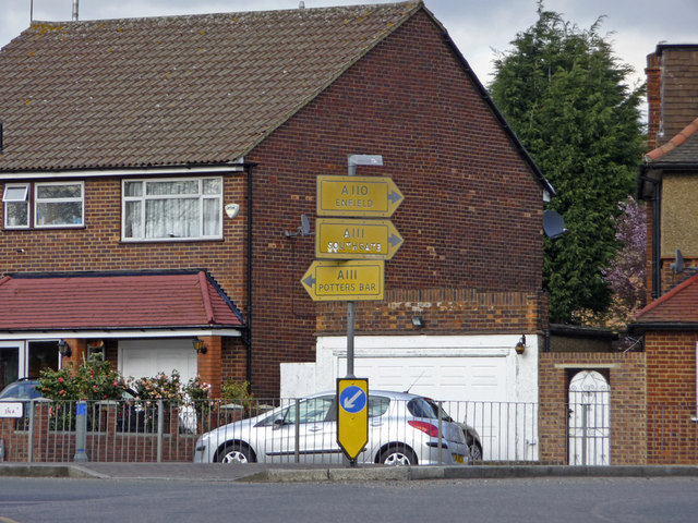
Image: © Christine Matthews Taken: 29 Mar 2009
Old road signs at the Cat Hill Roundabout at junction of Cockfosters Road; the next turn-off is Chase Road leading towards Enfield, via Oakwood.
Images are licensed for reuse under creativecommons.org/licenses/by-sa/2.0
Image Location
Latitude
51.645721
Longitude
-0.145938