The Dorset Soldier, Wareham Road, Corfe Mullen
Introduction
The photograph on this page of The Dorset Soldier, Wareham Road, Corfe Mullen by John Palmer as part of the Geograph project.
The Geograph project started in 2005 with the aim of publishing, organising and preserving representative images for every square kilometre of Great Britain, Ireland and the Isle of Man.

There are currently over 7.5m images from over 14,400 individuals and you can help contribute to the project by visiting https://www.geograph.org.uk
The Dorset Soldier, Wareham Road, Corfe Mullen
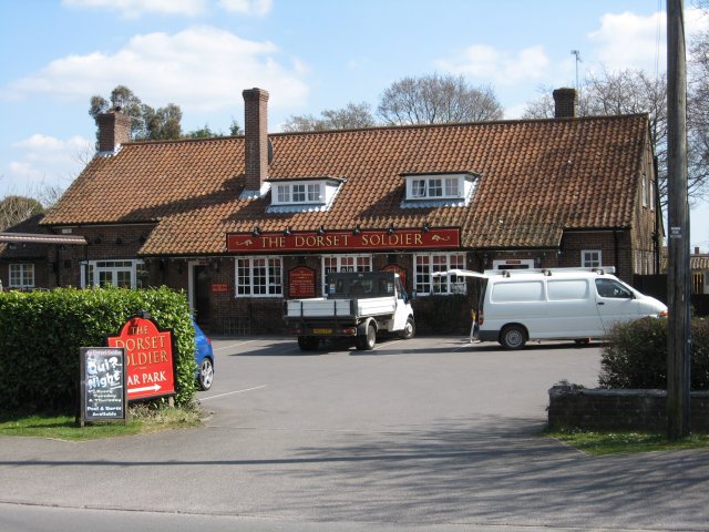
Image: © John Palmer Taken: 1 Apr 2009
Almost in the centre of Corfe Mullen, on the main through road, the pub is named after the 39th Regiment of Foot, who fought over the 'Black Hole of Calcutta' in 1757
Images are licensed for reuse under creativecommons.org/licenses/by-sa/2.0
Image Location
Latitude
50.766286
Longitude
-2.02065