Layers of development, Warwick and Leamington
Introduction
The photograph on this page of Layers of development, Warwick and Leamington by Robin Stott as part of the Geograph project.
The Geograph project started in 2005 with the aim of publishing, organising and preserving representative images for every square kilometre of Great Britain, Ireland and the Isle of Man.

There are currently over 7.5m images from over 14,400 individuals and you can help contribute to the project by visiting https://www.geograph.org.uk
Layers of development, Warwick and Leamington
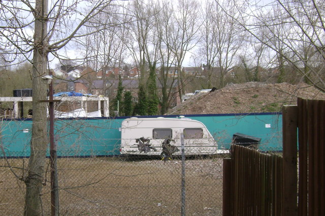
Image: © Robin Stott Taken: 30 Mar 2009
From the steps that descend from Greville Road, Warwick Image there is a view across the Waterfront contractor's vacant car park. Between the incomplete FOGs Image and a pile of crushed concrete is a glimpse of the development on the quarry site across the Avon and upstream from Rock Mill Image Above and beyond that is housing off Riversleigh Road in Milverton.
Images are licensed for reuse under creativecommons.org/licenses/by-sa/2.0
Image Location
Latitude
52.292224
Longitude
-1.563034