Myton Lane, Warwick
Introduction
The photograph on this page of Myton Lane, Warwick by Robin Stott as part of the Geograph project.
The Geograph project started in 2005 with the aim of publishing, organising and preserving representative images for every square kilometre of Great Britain, Ireland and the Isle of Man.

There are currently over 7.5m images from over 14,400 individuals and you can help contribute to the project by visiting https://www.geograph.org.uk
Myton Lane, Warwick
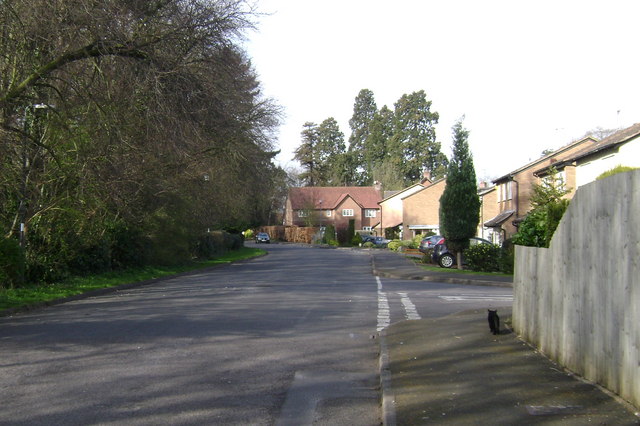
Image: © Robin Stott Taken: 22 Mar 2009
A once quiet backwater that has become an artery for extensive residential developments. The area is dominated by 19th century conifer planting - here, Giant Redwoods in the distance. Dodd Avenue, right. The fire engine access from Myton Road Image is out of shot, left. This view is the reverse of Image
Images are licensed for reuse under creativecommons.org/licenses/by-sa/2.0
Image Location


Leaflet Map data © OpenStreetMap
Latitude
52.28143
Longitude
-1.561674