Salthills Quarry Geology Trail
Introduction
The photograph on this page of Salthills Quarry Geology Trail by Gary Rogers as part of the Geograph project.
The Geograph project started in 2005 with the aim of publishing, organising and preserving representative images for every square kilometre of Great Britain, Ireland and the Isle of Man.

There are currently over 7.5m images from over 14,400 individuals and you can help contribute to the project by visiting https://www.geograph.org.uk
Salthills Quarry Geology Trail
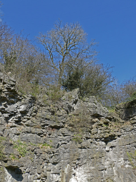
Image: © Gary Rogers Taken: 29 Mar 2009
Face of abandoned limestone quarry. The site of the old quarry is now largely occupied by an industrial estate but there is a geology trail running round its perimeter. The limestone contains crinoid fossils, ancient sea cretures that lived around 340 million years ago at a time when this area was under a shallow sea near the equator. Small fragments can be gathered from the surrounding area and in situ examples are clearly visible in the quarry face. A small area of limestone grassland around the quarry is now actively managed for its biodiversity and a geology trail has been laid out. From a historical perspective, a commemorative plaque on Lincoln Way tells how "All the soil and woods of Salthille was given to the Burgesses of Clitheroe and their heirs to make their profit thereof in the best manner they can" by Henry De Lacy, Earl of Lincoln in 1307.
Images are licensed for reuse under creativecommons.org/licenses/by-sa/2.0
Image Location
Latitude
53.878958
Longitude
-2.371297