Former colliery railway
Introduction
The photograph on this page of Former colliery railway by John M as part of the Geograph project.
The Geograph project started in 2005 with the aim of publishing, organising and preserving representative images for every square kilometre of Great Britain, Ireland and the Isle of Man.

There are currently over 7.5m images from over 14,400 individuals and you can help contribute to the project by visiting https://www.geograph.org.uk
Former colliery railway
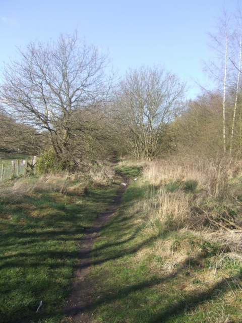
Image: © John M Taken: 29 Mar 2009
The footpath runs along the trackbed of the mineral railway which served Hilton Main Colliery. In the early 1960s as a child I was often taken by my mother to see a small diesel engine pulling a trainload of coal. This would happen every day at around 4pm. The line was an extension of the Wolverhampton and Cannock Chase Colliery's Line to the Essington and Holly Bank pits. There was a connection to the Walsall to Cannock Line at Norton. A spur ran to the Rosemary Brick and Tile Works.
Images are licensed for reuse under creativecommons.org/licenses/by-sa/2.0
Image Location
Latitude
52.62187
Longitude
-2.060078