Parkham Field
Introduction
The photograph on this page of Parkham Field by Derek Harper as part of the Geograph project.
The Geograph project started in 2005 with the aim of publishing, organising and preserving representative images for every square kilometre of Great Britain, Ireland and the Isle of Man.

There are currently over 7.5m images from over 14,400 individuals and you can help contribute to the project by visiting https://www.geograph.org.uk
Parkham Field
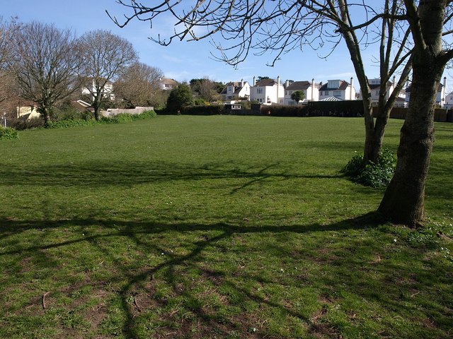
Image: © Derek Harper Taken: 23 Mar 2009
One of Brixham's more tucked-away open spaces, perched on a plateau above New Road. The houses are on Langley Avenue.
Images are licensed for reuse under creativecommons.org/licenses/by-sa/2.0
Image Location
Latitude
50.39179
Longitude
-3.519427