Chopping Knife Lane,Marlborough
Introduction
The photograph on this page of Chopping Knife Lane,Marlborough by Brian Robert Marshall as part of the Geograph project.
The Geograph project started in 2005 with the aim of publishing, organising and preserving representative images for every square kilometre of Great Britain, Ireland and the Isle of Man.

There are currently over 7.5m images from over 14,400 individuals and you can help contribute to the project by visiting https://www.geograph.org.uk
Chopping Knife Lane,Marlborough
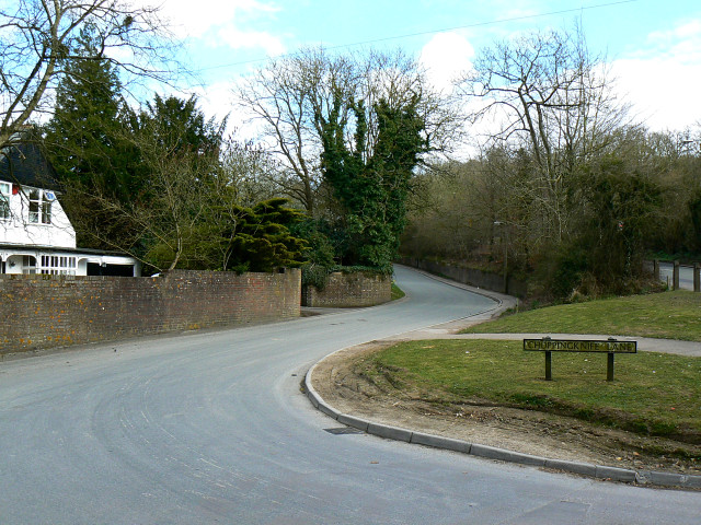
Image: © Brian Robert Marshall Taken: 28 Mar 2009
The lane provides access to Stitchcombe and Axford. The A4 Great West Road can just be seen at the right on its way towards Savernake and Hungerford.
Images are licensed for reuse under creativecommons.org/licenses/by-sa/2.0
Image Location
Latitude
51.41858
Longitude
-1.711621