Stratford-upon-Avon bypass
Introduction
The photograph on this page of Stratford-upon-Avon bypass by David Stowell as part of the Geograph project.
The Geograph project started in 2005 with the aim of publishing, organising and preserving representative images for every square kilometre of Great Britain, Ireland and the Isle of Man.

There are currently over 7.5m images from over 14,400 individuals and you can help contribute to the project by visiting https://www.geograph.org.uk
Stratford-upon-Avon bypass
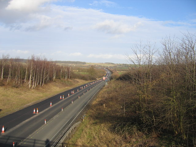
Image: © David Stowell Taken: 15 Feb 2006
Looking NE along the A46 from the bridge carrying The Ridgeway over the western end of the bypass. The ridge in the distance is Clopton Hill to the north of Stratford.
Images are licensed for reuse under creativecommons.org/licenses/by-sa/2.0
Image Location
Latitude
52.199258
Longitude
-1.745373